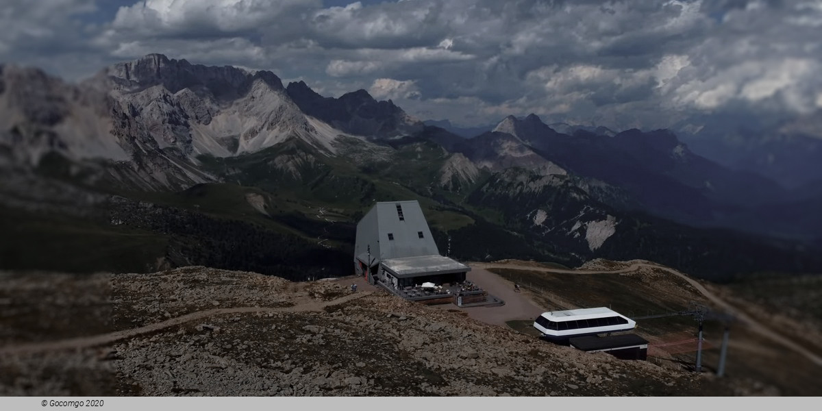
Col Margherita (Val di Fassa, Italy)
There are no events to show for 1 - 28 Feb 2025.
Col Margherita

Col Margherita is a high mountain peak at an elevation of 2.524m (8,280ft) above the sea level, located on the border of Trentino-South Tyrol and Veneto regions, in Italy. It is one of the most popular viewpoints in the Dolomites.
The rough road to the summit, located in the Dolomites mountain range, is rocky and gravel. It’s a chairlift access trail. The slope is very steep, consists of loose stones and becomes even steeper and rocky in the upper part. This trail can be done only a very narrow time-frame in the summer (end of August). At the summit there’s a bar.
Due to the high elevations and exposure, the road is subject to strong winds and rapid weather changes. Be prepared for the cold and wind! High winds blow here all year long. Temperatures here in the winter are brutally cold. The road to the summit is a ski-station service road with sharp inclines, with some sections up to 30%. The peak is part of the Bocche chain, a ridge which separates the valley of San Pellegrino from the valley of the Travignolo.

